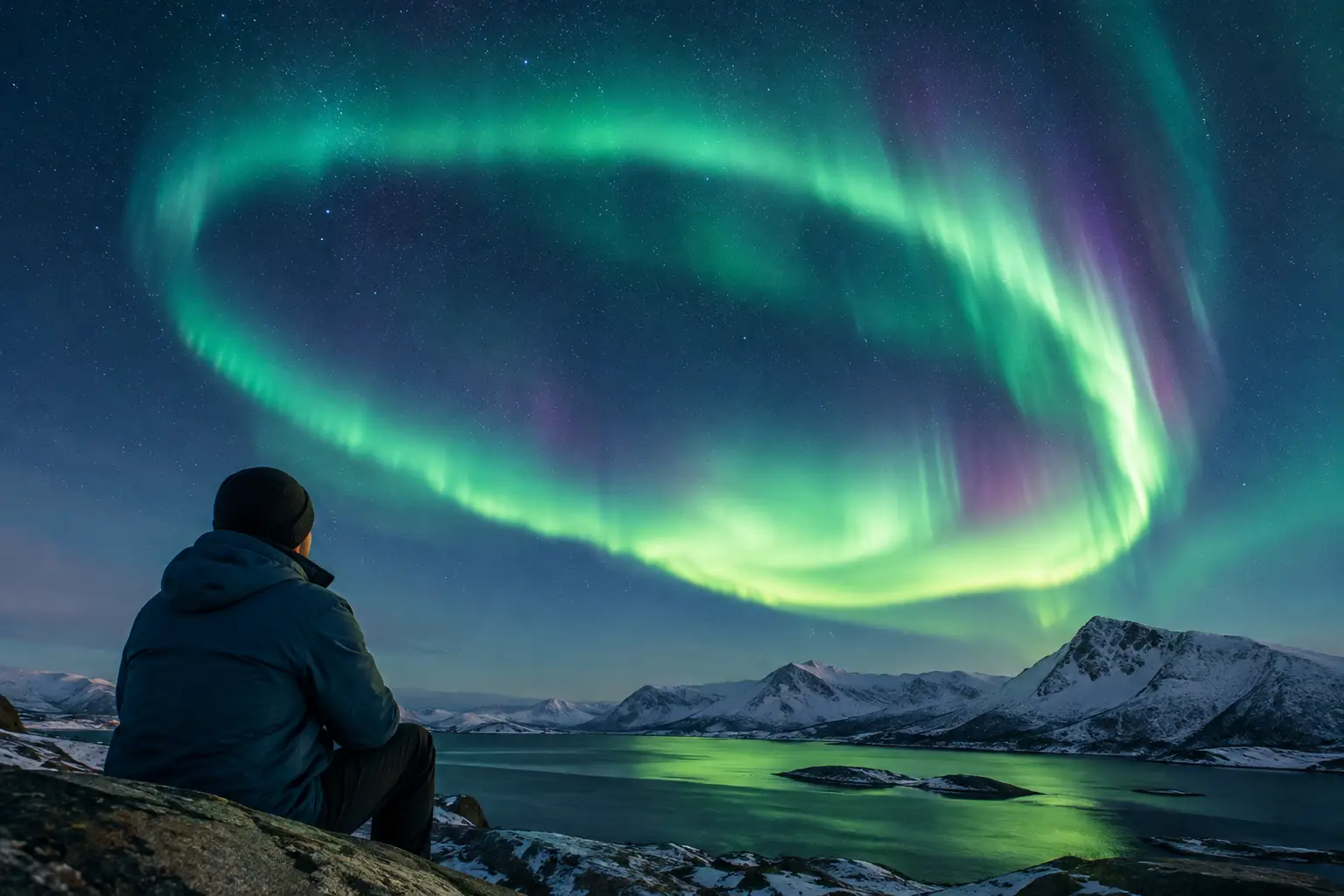
A bright green band on an aurora map can make a remote Arctic night feel full of promise. But aurora oval tracking is not a guarantee that you will see lights from your hotel, roadside pullout, or camera location. It is a real-time view of where Earth’s magnetic field is most likely channeling auroral activity - one valuable signal in a decision that also depends on clouds, darkness, local weather, and timing.
Used well, an oval map helps you decide whether to wait, drive, or head out with a tour. Used alone, it can lead to the classic mistake of chasing a strong forecast beneath solid cloud cover. The goal is not to find the biggest-looking oval. It is to identify the best window for seeing the sky from where you are.
What Aurora Oval Tracking Actually Measures
The aurora oval is a ring-shaped zone surrounding each magnetic pole. It is not centered exactly on the geographic North Pole, which is why its position may look unfamiliar on a standard map. The oval marks the region where charged particles from the solar wind most often interact with Earth’s upper atmosphere, producing the Northern and Southern Lights.
On a tracking map, the oval expands, contracts, brightens, and shifts in response to geomagnetic activity. When conditions are quiet, the northern oval generally stays closer to high latitudes. When activity increases, it can widen toward lower latitudes, improving the chance of seeing aurora farther south in places such as southern Iceland, northern Scotland, or parts of Canada and the northern United States.
Most maps use color to represent modeled auroral intensity or probability. Brighter colors typically indicate stronger activity overhead or a higher chance of aurora at a given point. That information is useful, but it is often misunderstood. The model is estimating activity in the upper atmosphere, not reporting what your eyes can see through the clouds.
A traveler in northern Norway may see a faint arc on a night with modest oval activity because the sky is clear and dark. Meanwhile, someone under a stronger section of the oval may see nothing if rain, low cloud, or snow blocks the view. That difference is why the oval should be treated as one layer of the forecast rather than the whole forecast.
How to Read an Aurora Oval Map for Your Location
Start by finding your actual viewing area, not simply the nearest famous aurora destination. A map may show good activity over Iceland as a whole while your part of the coast is under thick cloud. If you are driving, compare the oval with regional weather patterns before committing to a route.
Then look at your position relative to the oval. Being directly beneath an active oval can bring displays that stretch high overhead. Sitting south of it does not mean the night is lost. A strong aurora can be visible low on the northern horizon from outside the brightest zone, especially with a clear view north and little light pollution. This is particularly relevant for travelers in southern Iceland or interior Alaska.
The most useful question is not, “Is the oval over me?” Ask, “Is there enough activity for my latitude, and will I have a clear, dark view during that window?” That approach prevents you from dismissing a promising night just because a map is not glowing directly above your town.
The Oval Can Change Faster Than Your Travel Plans
Aurora activity is dynamic. A favorable oval at dinner can weaken by the time you reach a viewing spot, while a quiet map can improve suddenly after midnight. Solar wind conditions upstream from Earth can provide warning, but the exact response in the magnetic field is never perfectly predictable.
This is why it pays to check updates through the evening rather than treating a daytime forecast as final. If you have flexibility, choose an accommodation base with accessible dark areas nearby, keep warm layers and camera gear ready, and avoid planning a long drive based on one snapshot. In winter, icy roads, wind, and poor visibility can turn an ambitious chase into a bad decision even when the aurora outlook is excellent.
What the Oval Map Cannot Tell You
An oval map cannot see clouds. It cannot tell you whether a mountain blocks your northern horizon, whether moonlight will reduce the contrast of a faint display, or whether fog is forming near your chosen beach, fjord, or lake. It also cannot fully account for local light pollution.
Moon phase deserves context. A bright moon can wash out the weaker details of a pale aurora, especially in photos, but it does not prevent a strong display. For travelers, cloud cover is usually the more urgent concern. A clear sky with moonlight is often far better than a moonless sky hidden behind cloud.
The map also does not replace the solar wind data behind the forecast. Two nights can show a similar oval pattern but have very different potential for improvement. That is where solar wind speed, density, and the interplanetary magnetic field, commonly called IMF Bz, matter.
When IMF Bz turns southward, it can connect more effectively with Earth’s magnetic field and transfer energy into the magnetosphere. Sustained negative Bz is generally encouraging, especially when solar wind speed is elevated. Positive Bz does not mean aurora is impossible, but it can suppress activity or make it less consistent. The KP Index provides a broad, planet-wide measure of geomagnetic disturbance, yet it updates slowly and does not describe your local sky conditions.
Build a Better Plan Than “Check KP and Go”
For a practical aurora decision, combine the oval with conditions that affect visibility on the ground. AuroraVision brings these signals together in a Live Aurora Score, using real-time solar wind, IMF Bz, KP Index, cloud cover, moon phase, and weather rather than asking travelers to interpret a single number in isolation.
Use that combined picture to choose between three sensible actions. If activity is favorable and skies are clear, go early and give yourself time outside. If activity is good but cloud is variable, look for a nearby clearer zone only if roads and weather make the drive safe. If the oval is active but your sky is fully covered, save energy, watch for breaks, and set an alert rather than standing outside for hours.
This is also where guided tours can be useful, especially for first-time visitors without winter driving experience. A knowledgeable local operator may have access to road-safe routes and a better understanding of microclimates. Independent travelers have more flexibility, but that flexibility only helps if they are comfortable assessing road closures, wind warnings, fuel range, and changing conditions.
Watch the Horizon, Not Just the Screen
Even the best tracking tools are preparation tools, not a substitute for looking up. The first sign of aurora is not always a dramatic curtain. It may appear as a pale gray-green arc over the northern horizon, a faint band that resembles thin cloud, or a soft glow that slowly develops structure. Cameras can reveal color before your eyes do, but do not rely on a phone screen alone to judge the display.
Give your eyes time to adjust. Step away from headlights and bright hotel windows, and scan the entire sky every few minutes. A quiet arc can strengthen quickly, while a display behind you may be more impressive than the northern horizon you have been watching.
When the Oval Matters Most
Aurora oval tracking is especially valuable when you are near the edge of the usual auroral zone, when a solar disturbance is arriving, or when you need to decide whether to travel to a darker location. It is less decisive when you are already in a high-latitude destination under clear skies, because even modest activity can produce a worthwhile show.
In places such as Finnish Lapland, northern Sweden, Svalbard, and northern Canada, clear skies and patience can matter more than waiting for an extreme KP value. In Iceland, where cloud and wind often dictate the night’s options, the best strategy is frequently to follow a local clear-sky window while keeping an eye on the oval and solar wind trend.
The aurora does not perform on a fixed schedule, and that uncertainty is part of the experience. Track the oval, check what is happening above your exact location, and stay ready when a clear gap and rising activity finally line up. That is how you give yourself the best chance not to miss the moment.